Atlases of the Baltic Sea.
This virtual exhibition showcases four sea atlases from the John Nurminen Foundation’s collection: Swedish, Dutch, Russian and British, dating back to the 17th–19th centuries. The charts selected from these atlases depict areas from different parts of the Baltic Sea and provide information on fairways, depths and positions. They also provide an insight into the history of seafaring and power relations. Welcome!
-
 3D virtual exhibition
John Nurminen Foundation
3D virtual exhibition
John Nurminen Foundation
Atlases of the Baltic Sea
-
 360˚ virtual exhibition
Finnish Museum of Agriculture Sarka
360˚ virtual exhibition
Finnish Museum of Agriculture Sarka
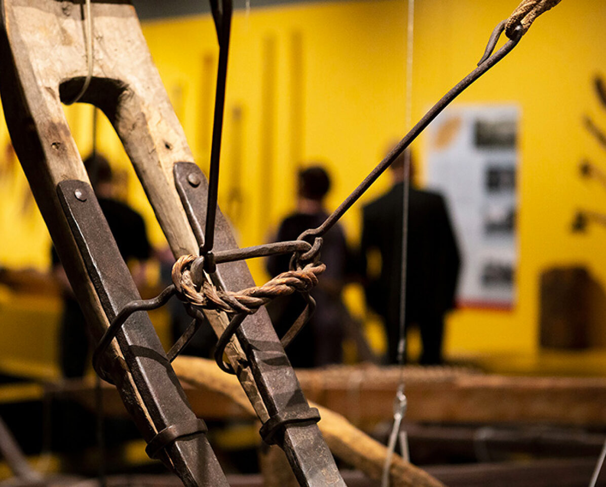
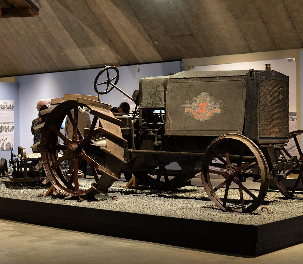
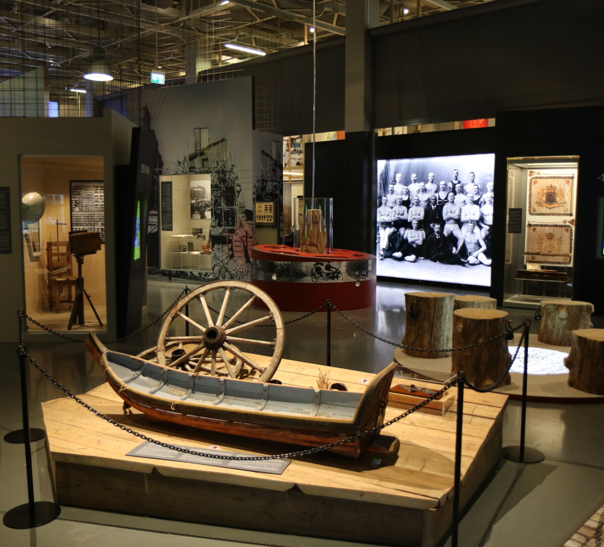
Before machines
-
 360˚ virtual exhibition
Forum Marinum Maritime Centre
360˚ virtual exhibition
Forum Marinum Maritime Centre
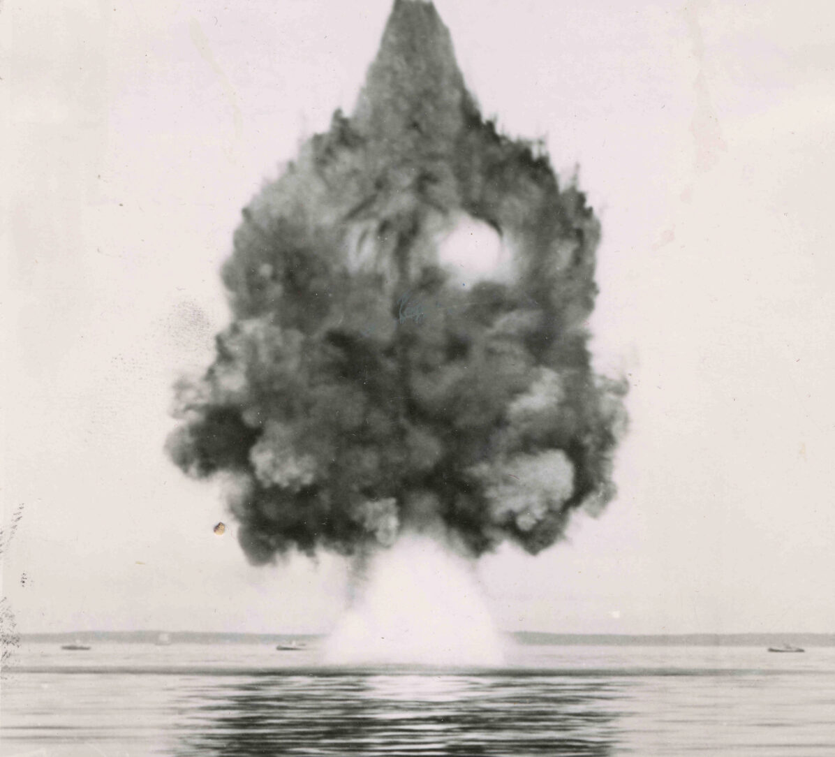
Forum Marinum - History of Underwater Warfare
-
 360˚ virtual exhibition
Forum Marinum Maritime Centre
360˚ virtual exhibition
Forum Marinum Maritime Centre
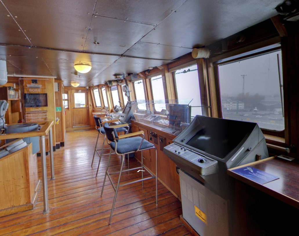
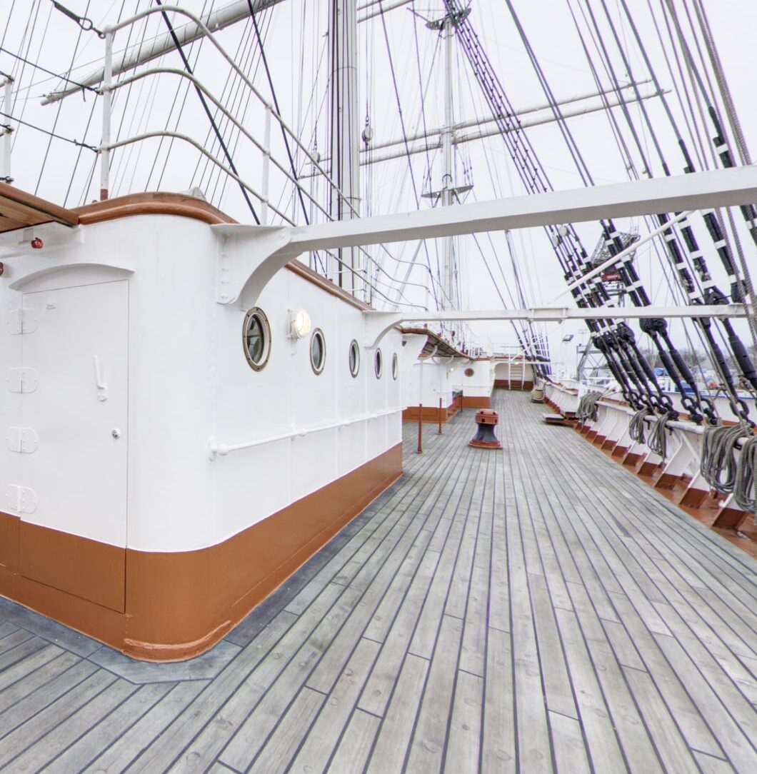
Forum Marinum - s/s Bore
-
 360˚ virtual exhibition
Forum Marinum Maritime Centre
360˚ virtual exhibition
Forum Marinum Maritime Centre
Forum Marinum - Sigyn
-
 360˚ virtual exhibition
Forum Marinum Maritime Centre
360˚ virtual exhibition
Forum Marinum Maritime Centre
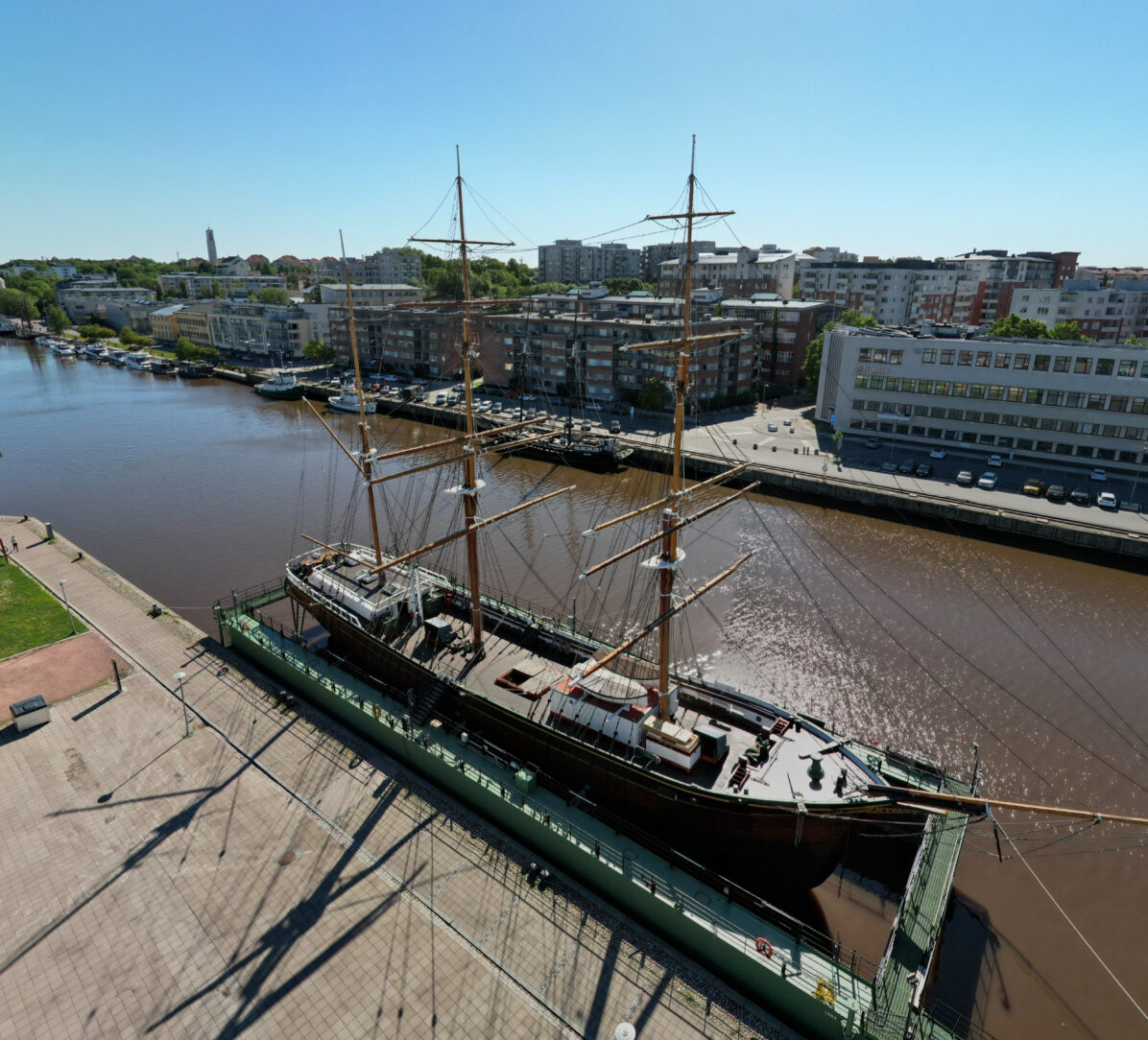
Forum Marinum - Suomen Joutsen
-
 360˚ virtual exhibition
Finnish Museum of Agriculture Sarka
360˚ virtual exhibition
Finnish Museum of Agriculture Sarka
The Age of Agriculture – The Story of Farming in Finland
-
 360˚ virtual exhibition
The Aschan House
360˚ virtual exhibition
The Aschan House
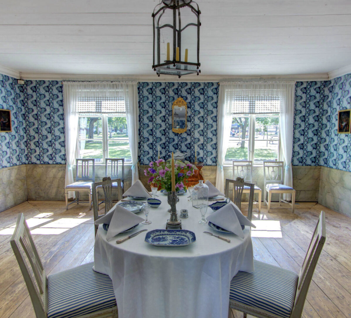
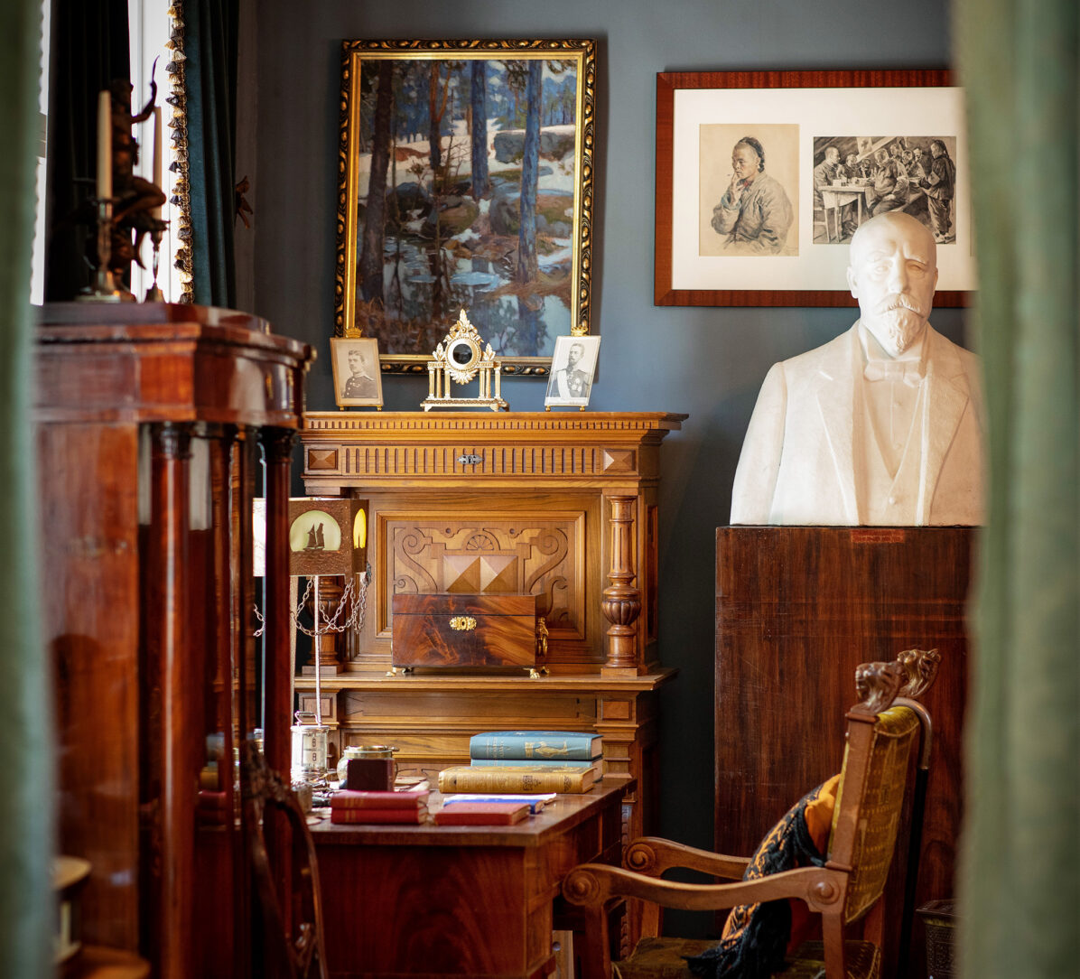
The Aschan House
-
 360˚ virtual exhibition
The museum Ett Hem
360˚ virtual exhibition
The museum Ett Hem
The museum Ett Hem
-
 360˚ virtual exhibition
Turku City Museum
360˚ virtual exhibition
Turku City Museum
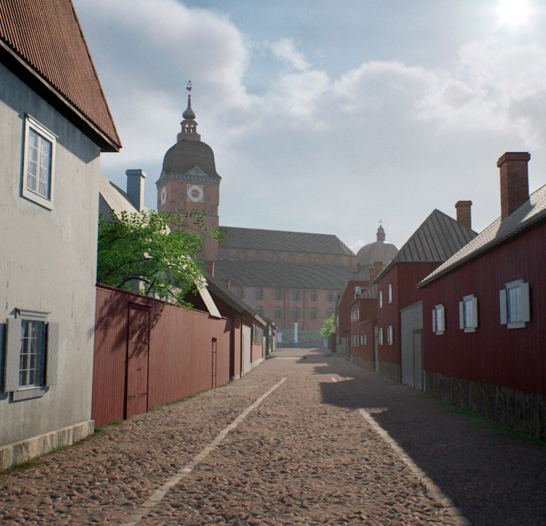
Turku Åbo 1827
-
 360˚ virtual exhibition
Vartiovuori Observatory
360˚ virtual exhibition
Vartiovuori Observatory
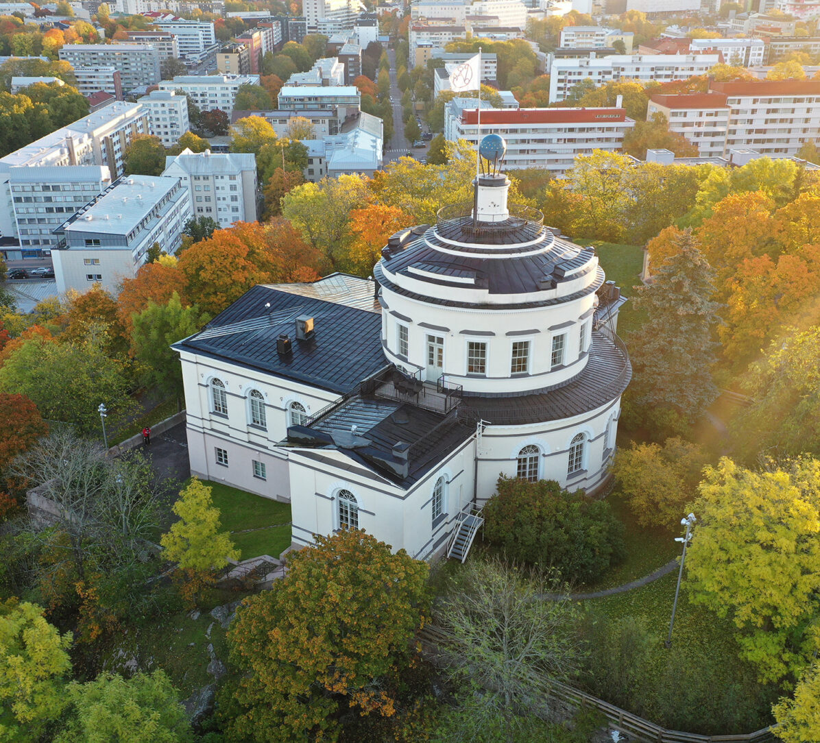
Vartiovuori Observatory
-
 360˚ virtual exhibition
Police Museum
360˚ virtual exhibition
Police Museum
Virtual exhibition of the Police Museum
-
 360˚ virtual exhibition
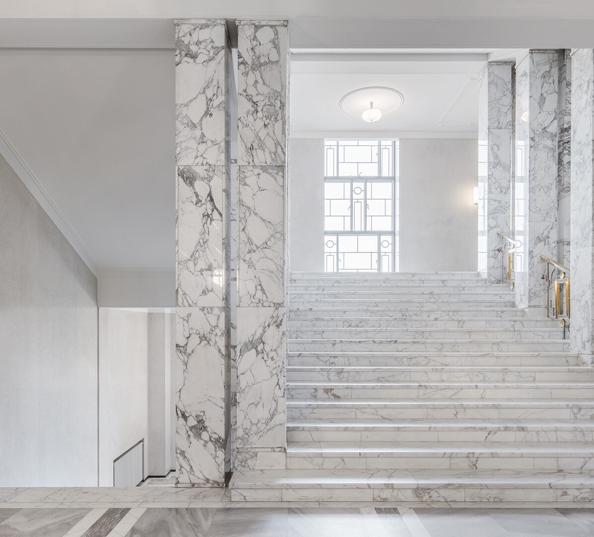
Presidential Palace
360˚ virtual exhibition
Presidential Palace
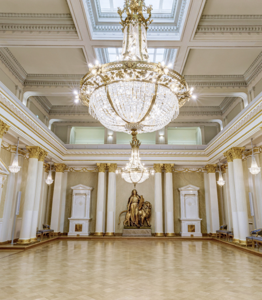
Virtual tour of the Presidential Palace
-
 360˚ virtual exhibition
Parliament Building
360˚ virtual exhibition
Parliament Building
Virtual tour to the Parliament Building